

Industries
Fisheries and marine compliance platforms
Digital programs that support safer waterways, clear regulatory communication and long-term environmental stewardship, from FishSmart’s fishing rules to SharkSmart’s beach alerts for NSW DPIRD. SharkSmart runs on M4, our multi-tenant platform.
Where environmental protection, community safety and compliance meet
Mobiddiction has worked in fisheries, conservation and marine compliance for more than a decade. Our programs help agencies communicate rules clearly, visualise complex spatial boundaries, collect field and crowd-sourced data, and run real-time public safety systems. Each needs secure architecture, accurate geospatial modelling, resilient public services and operational tools for departmental staff.
FishSmart NSW
The right rules, in the right place, at the right time
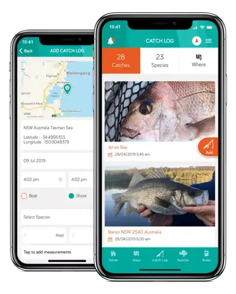
FishSmart is delivered for NSW DPIRD Fisheries as the official digital companion for recreational fishers across the state. Its core purpose is clarity.
The app integrates directly with the department’s GIS and Mapbox environment, the single source of truth for regulatory boundaries: marine park zones, restricted areas, seasonal closures, fish aggregating devices and artificial reefs. It displays them with high spatial accuracy, including around Lord Howe Island. Species information, bag and size limits, gear rules, notifications and catch logs are managed as content alongside the maps. FishSmart was originally delivered on Mobiconnect, Mobiddiction’s platform at the time.
The program has been live since 2015, supported by Mobiddiction’s managed services, cloud hosting and structured release cycles, with ongoing reporting and feature development.
SharkSmart and SharkSmart PRO
A coastal safety platform the public relies on
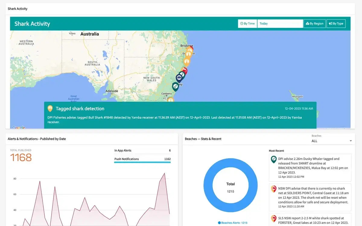
Mobiddiction has supported the SharkSmart program, operated by NSW DPIRD, since 2014 across architecture, development, operations and ongoing improvement. It combines real-time data from tagged shark detections, environmental sensors, aerial surveillance and departmental systems into one coastal safety platform, with a public map of shark activity and beach safety information.
SharkSmart PRO, used by authorised government staff, contractors and beach safety organisations, provides the operational tools for assessing incidents, communicating and keeping situational awareness.
SharkSmart was originally delivered on Mobiconnect and now runs on M4, the platform Mobiconnect became. It runs on its own separately provisioned infrastructure on AWS, on the same M4 codebase, released on its own schedule.
What M4 brings to marine and compliance programs
SharkSmart uses all three. The core signs people in and manages their permissions. Alerts, push and scheduled data are extended for beach safety. The operator tools are custom modules plugged into the same core.
Core · configured
Shared features every program uses as they are. We run them, secure them and keep them current for everyone.
Extended capability · extended
A core feature we extend for your program, with your own fields, rules and behaviour, without changing it for anyone else.
- Alerts
Publish alerts to the people who need them, carrying the detail your program depends on.
- Data feeds
Bring external data into your program on a schedule, mapped to the way your program uses it.
Custom modules · crafted
Modules we craft only for your program and plug into the core, so they use features like sign-in, media, notifications and data.
- Beach-safety operations
The operator tools behind a statewide shark-safety program.
WhaleWatch
Crowd-sourced whale sightings, relaunched as WhaleWatch
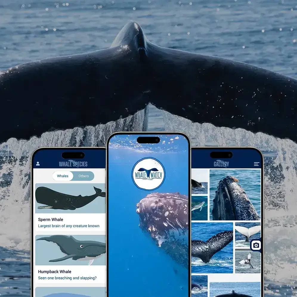
Originally delivered for the NSW National Parks and Wildlife Service as Wild About Whales, the program supported the annual whale census for nearly a decade and gave the public a dependable way to report sightings along the NSW coastline.
When NPWS funding priorities changed, Mobiddiction relaunched the program independently, with NPWS’s permission, as WhaleWatch. We added optional registration, a real-time public sightings gallery and real-time notifications. The platform standardises and validates sightings, and its maps help people plan whale-watching trips and coastal outings.
Designed for high-trust government settings
Fisheries and coastal regulation
More than a decade of work across marine parks, wildlife, fisheries, coastal safety and environmental compliance programs.
Geospatial expertise
Experience with Mapbox, ESRI ArcGIS and departmental GIS platforms, and with precise marine zoning and boundary logic.
Long-term partnerships
SharkSmart and FishSmart have each run for more than a decade, reflecting our strength in maintenance, iteration and operational readiness.
Trusted digital foundations
Developed and operated under Mobiddiction’s Information Security Management System, certified to ISO/IEC 27001:2022 by an independent, accredited auditor. Hosted in Australian cloud regions.
Complex rules made clear
Interfaces and information models designed for regulatory clarity, for both the public and departmental users.
Operational capability
Managed services, incident response, seasonal uplift for high-risk periods and structured support for ongoing departmental operations.
Our work in fisheries and marine compliance
Programs we have designed, delivered and supported, in detail.
Project type: Government
FishSmart
The official NSW recreational fishing app: location-specific rules, bag and size limits and legislated fishing zones, available offline, with over 350,000 downloads since 2015.
Read case study
Project type: Government · Public safety
SharkSmart
SharkSmart is NSW Government’s platform for shark detections, beach alerts and cross-agency coordination. It runs on M4, and we have delivered and run it since 2014.
Read case studyRuns on M4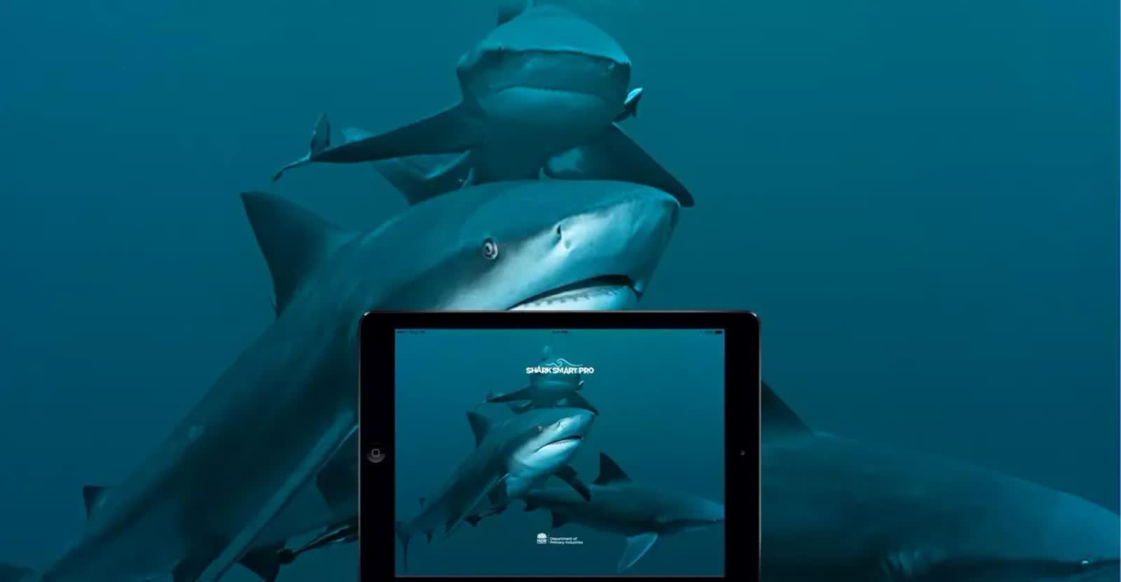
Project type: Government · Public safety
SharkSmart PRO
SharkSmart PRO is the field app that NSW DPIRD staff, aerial and drone teams and SMART Drumline operators use to create and send shark alerts across NSW.
Read case studyRuns on M4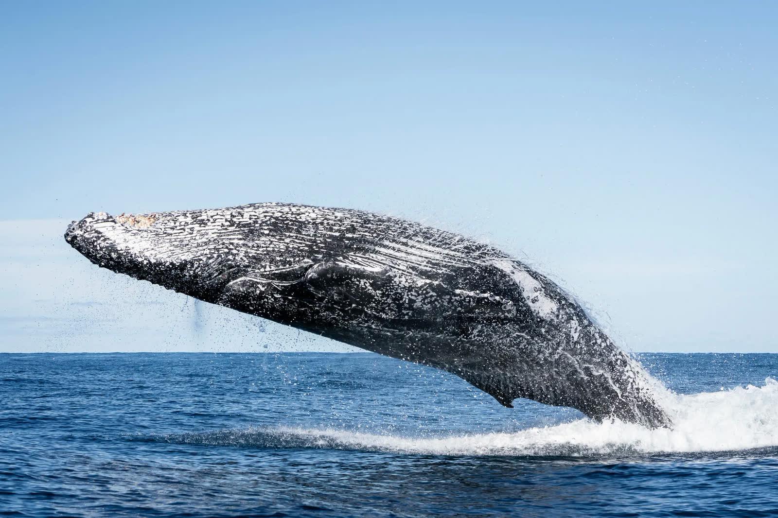
Project type: Mapping
Whale Watch
The popular Whale Watch is a free Whale Watching app by Mobiddiction. View whale sightings, gallery, tips and info to make the most of your whale watching experience.
Read case study
Tell us what your marine program needs
We’ll show you what M4 already covers, what we’d extend and what we’d craft for you. We love tech, but speak human.