

Capture for Mapping Programs
Programmed drone flights for current site maps
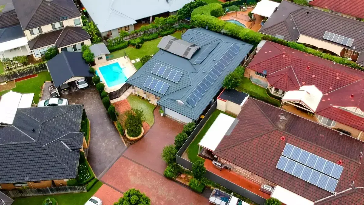
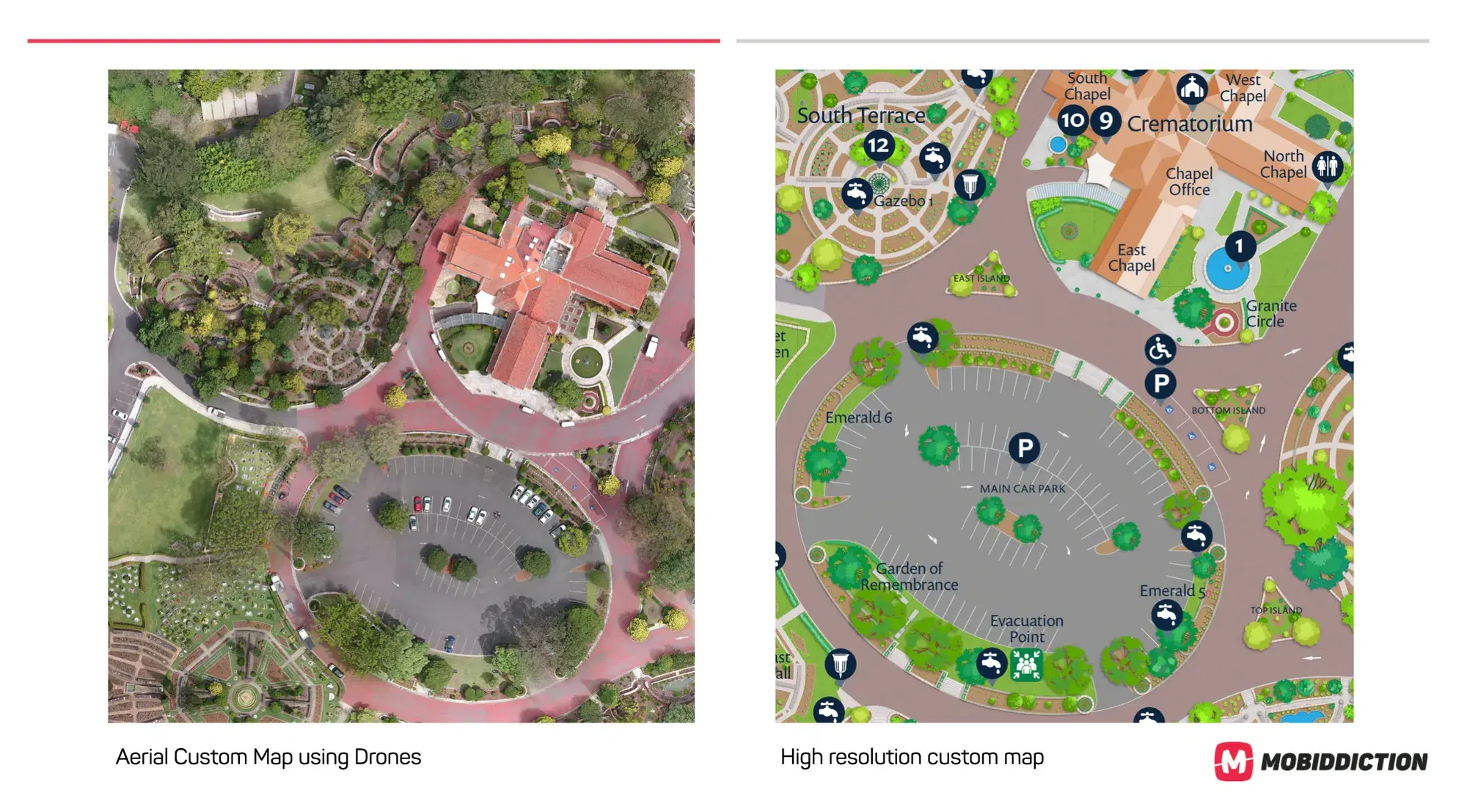
We fly pre-programmed paths to capture overlapping aerial photography, then process it into georeferenced basemaps. Those basemaps are the starting point for custom maps, wayfinding and spatial programs running on M4, our multi-tenant platform, including Mapiddiction.
From flight plan to map tiles
The same approach we use on memorial parks, display villages and large outdoor venues, summarised in four steps. For the full walkthrough, see our guide on drone mapping.
Plan the flight
Program the aircraft to a mission plan: waypoints, altitude and camera orientation so each pass captures consistent, overlapping frames.
Capture overlapping photos
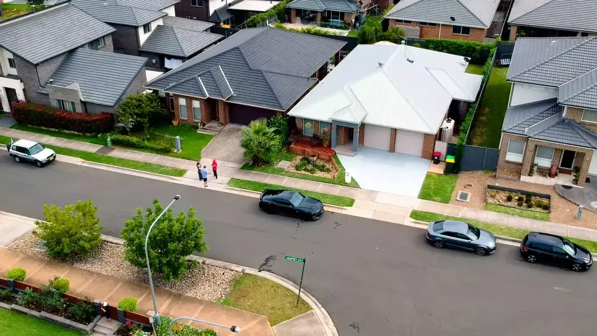
The flight produces a set of geotagged images with enough overlap for stitching software to align them into one continuous view.
Stitch and model
Specialist photogrammetry joins the frames into a high-resolution map and, where needed, terrain models and elevation datasets.
Tile and overlay
The stitched image is cut into tiles and overlaid on your mapping stack. This is the basemap layer for wayfinding, measurement and field tools.
On M4
Basemaps that feed mapping programs on M4
Drone capture is rarely the whole product. It is the current ground truth that custom maps, searchable location databases and pedestrian wayfinding start from. Photogrammetry refines alignment with geospatial coordinates and produces consistent basemaps for web, mobile, kiosk and print.
Our geospatial and Mapiddiction teams take these layers into custom maps, event precinct wayfinding and long-running venue programs. Mapiddiction, our mapping product, is a custom module on M4: maps, markers, shapes and AI-assisted wayfinding on a managed core of workspaces and media. Flights follow applicable CASA rules and are planned for the site, not flown ad hoc.
Locations and field assets and media come from the M4 core, data feeds are extended for Mapiddiction’s markers, and the maps and routing are a custom module.
When Public Imagery Falls Short
Drone capture where satellite and road data lag
When clients need updated or highly accurate site maps, we operate drone and aerial capture programs to produce current spatial data. That supports baseline maps, measurement workflows, planning overlays and consumer-facing applications.
In 2023, Invocare Group engaged us to produce new maps for 14 cemeteries and memorial parks across NSW and SE Qld. By using the same capture and processing approach at each site, we delivered a consistent experience across all venues.
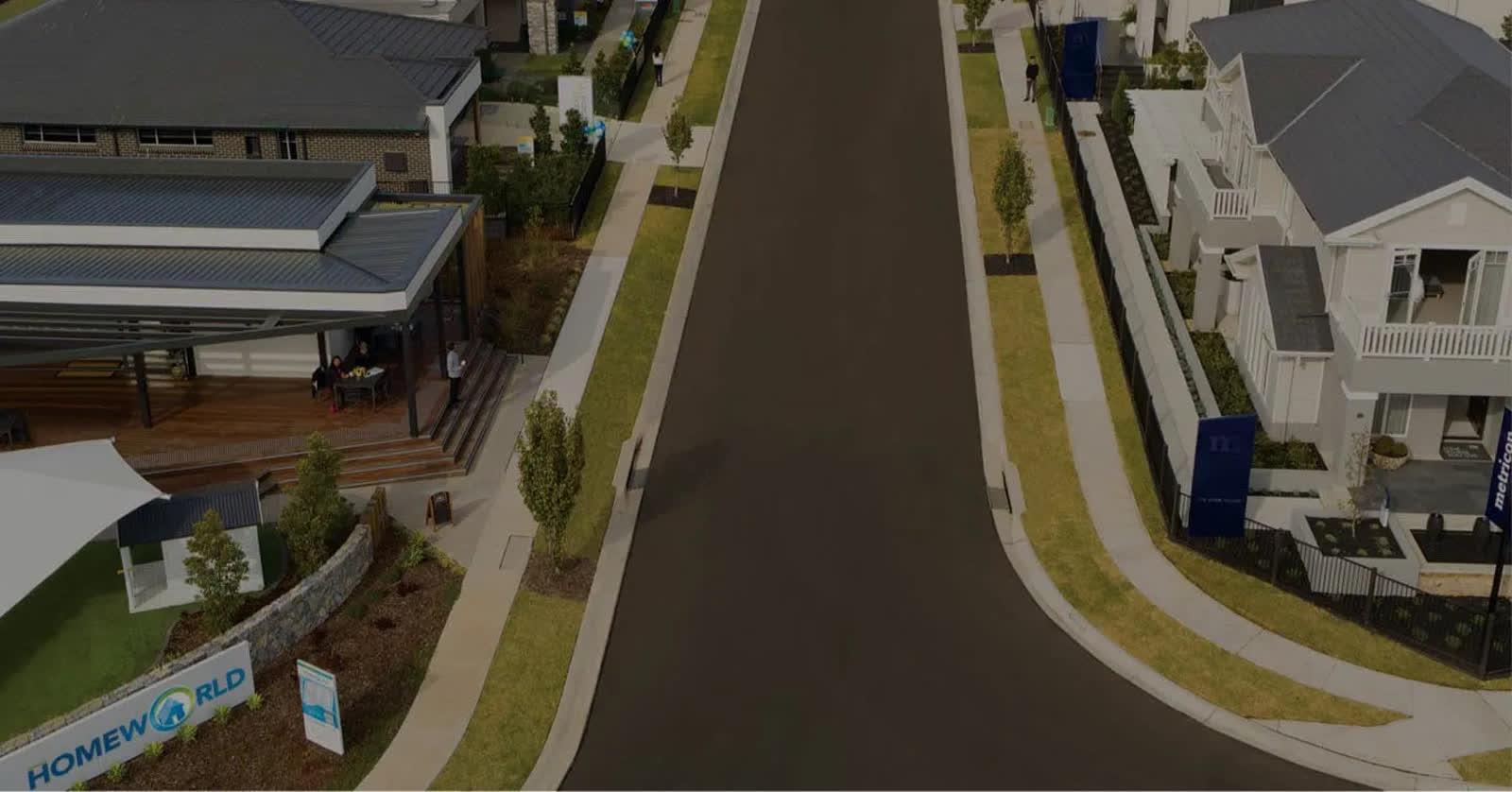
We applied similar methods for HomeWorld to create accurate maps of display villages: areas where road data and satellite imagery are often not yet up to date, and where standard pedestrian routing sends people down the middle of roads rather than along footpaths and crossings.
Programs that start from drone capture
Examples where aerial photography and photogrammetry were the foundation for mapping and wayfinding.
Project type: Events & venues · Mapping
HomeWorld Display Village Wayfinding
A whole new way to explore HomeWorld Marsden Park, with custom pedestrian wayfinding and high accuracy drone mapping.
Read case study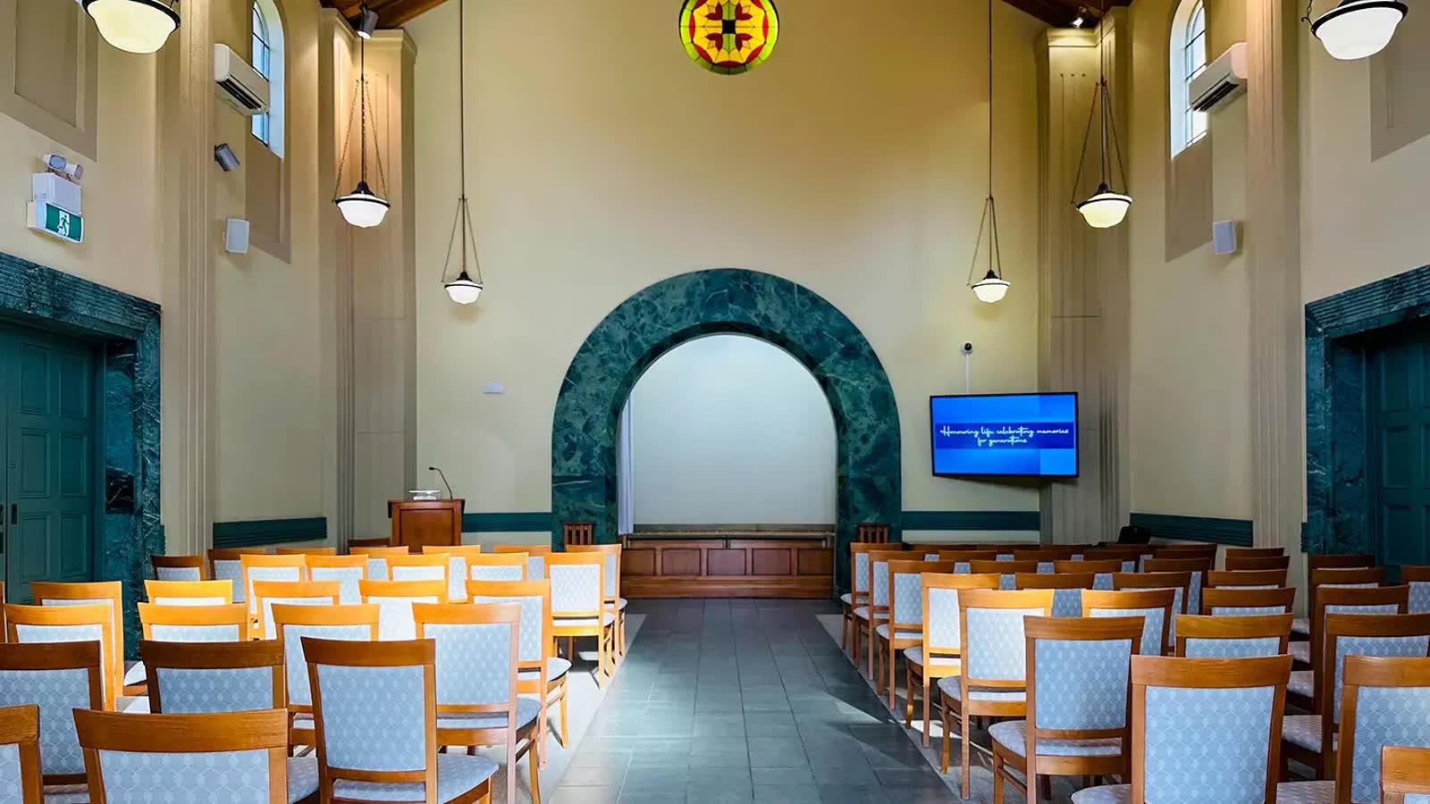
Project type: Enterprise · Mapping
InvoCare Group
Custom memorial park maps for InvoCare in NSW and Queensland, built from drone photography, 360-degree photography and one consistent map style.
Read case study
Need a current basemap for your venue or program?
Tell us about the site and how you plan to use the data. We will come back with a sensible capture and delivery path.
Talk to our mapping team
Share your site, timeline and how the map will be used. We love tech, but speak human.