

Industries
Accurate, respectful maps for memorial parks
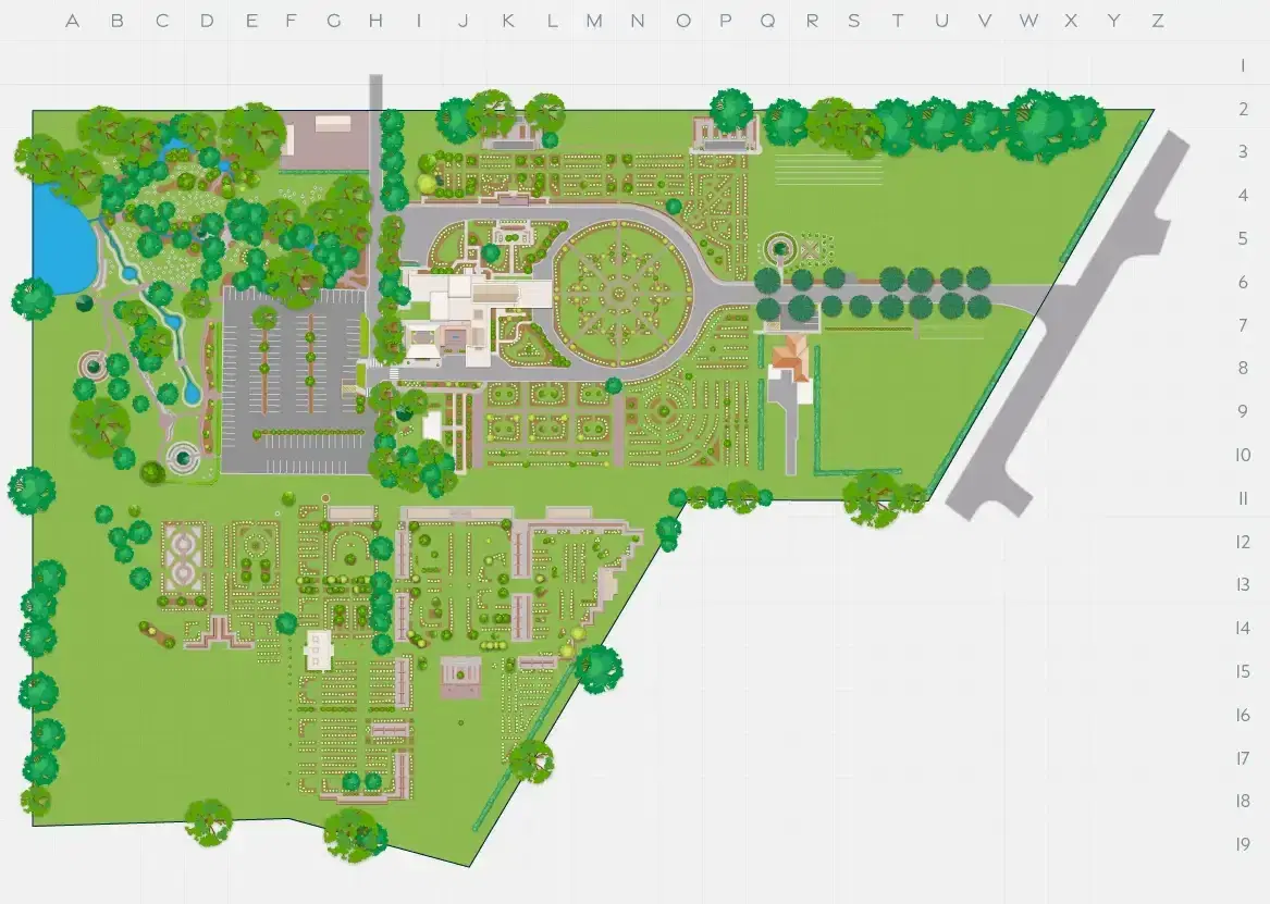
Memorial parks need maps families can trust: accurate, respectful and easy to use, backed by systems that keep operations efficient, branding consistent and data reliable across every park. We create them with Mapiddiction, our mapping product on M4.
A Single Source of Truth
One reliable source of truth for every park map
Memorial parks change constantly, so a map is only useful while it is current. We give organisations one reliable source of truth for all their mapping and location information, improving the visitor experience and streamlining operations across web, mobile, kiosk and print.
Our work includes custom mapping for 14 memorial parks across NSW and Queensland, and we have created maps for more than a decade. We also deliver searchable location databases, AI-assisted pedestrian wayfinding and drone imagery.
What M4 brings to memorial park programs
The shared core handles content, media and permissions, so operators update facility information and seasonal messages themselves. Mapiddiction supplies the maps and walking routes.
Core · configured
Shared features every program uses as they are. We run them, secure them and keep them current for everyone.
Extended capability · extended
A core feature we extend for your program, with your own fields, rules and behaviour, without changing it for anyone else.
- Data feeds
Bring external data into your program on a schedule, mapped to the way your program uses it.
Custom modules · crafted
Modules we craft only for your program and plug into the core, so they use features like sign-in, media, notifications and data.
- Maps and wayfinding
Private maps of venues, campuses and events, with accessible routing.
Mapped From Real Ground Data
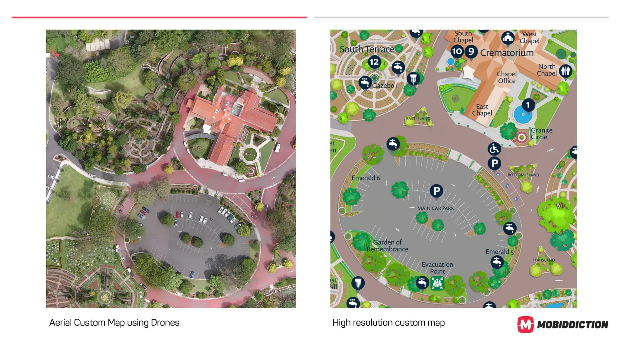
Drone capture and photogrammetry, not out-of-date satellite imagery
Families visiting a memorial park need clear, dependable guidance. We create maps from high-resolution drone capture and structured spatial modelling, with programmed drone flights giving an up-to-date overhead view of each site, so digital and printed maps reflect the current layout, new structures and changes to the landscape.
Photogrammetry refines alignment with geospatial coordinates and produces consistent basemaps for every digital and print output. That removes the reliance on out-of-date satellite imagery, reduces confusion on site and gives navigation and data management a stable base.
Searchable Locations
Helping families locate a loved one
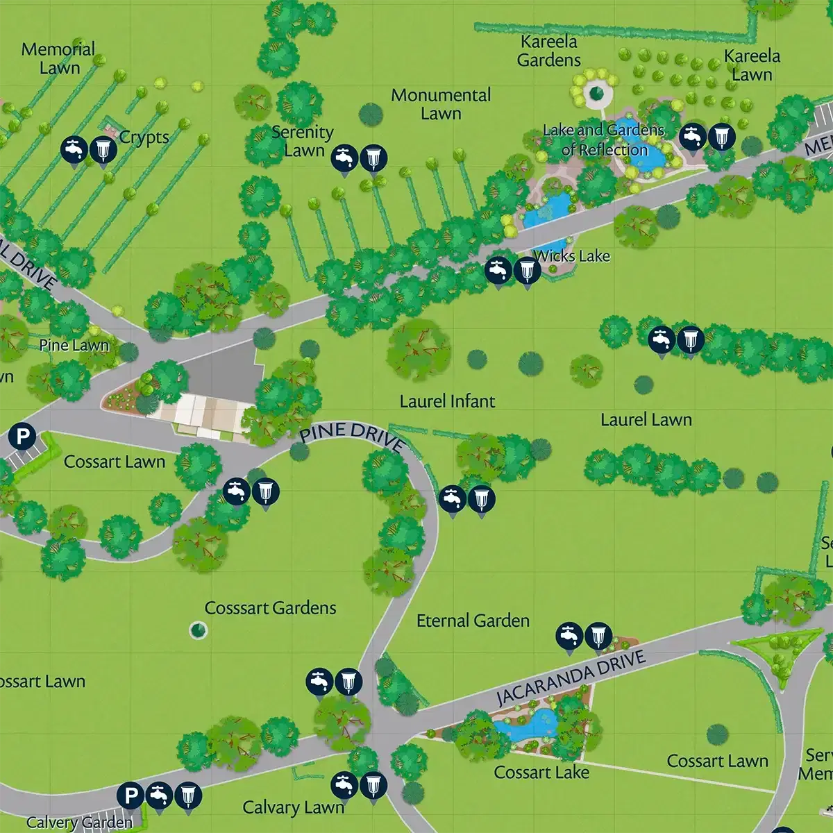
For many visitors, locating a loved one is the most important task. We create searchable databases that combine traditional record keeping with precise geospatial data: geotagged plot and memorial locations, name-based lookup across burial, cremation and memorial records, garden, section and row details, and real-time “blue dot” positioning with turn-by-turn walking directions.
Staff and families can find a location quickly on the web, in a mobile app or at an on-site kiosk, which improves the visitor journey and reduces demand on office staff.
Wayfinding that respects how a park is laid out
Memorial parks often have winding paths, gardens, uneven layouts and seasonal changes. Our AI-assisted pedestrian routing works within these constraints, producing walking routes that follow the design and flow of the grounds.
Indoor and outdoor transitions
Routes carry visitors between buildings and grounds without breaking the journey.
Short and long route preferences
Visitors choose the route that suits them on the day.
Drive, then walk
Directions to nearby parking, then on foot from the car to the destination.
Temporary path changes
Routes can be adjusted for events or maintenance.
Dynamic labels and markers
Map detail that changes with context rather than sitting static.
Consistent across venues
The same wayfinding behaviour when an organisation runs several parks.
Brand integrity families can feel
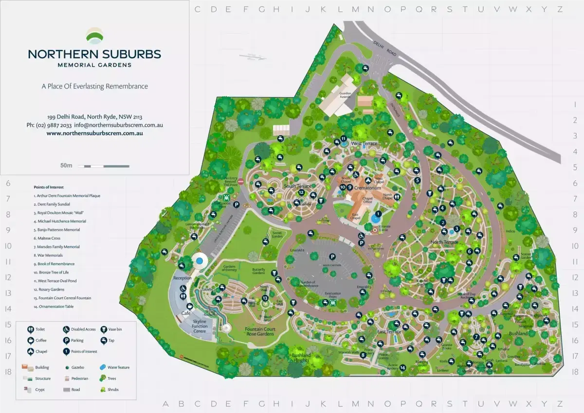
Families expect clarity, calm design and a well-kept presentation. We follow your brand and style guides (colour palette, typography, icons and map elements) so digital maps, static images, kiosks and printed brochures look like one family, with reusable assets and templates that extend to new venues without redesigning each time.
One standard instead of a patchwork of legacy maps
Operators with several parks often manage a mix of legacy maps, inconsistent styles and different data sources. We replace that with a central mapping and data library, consistent basemap styling, harmonised naming and metadata, and workflows for both local staff and head office, giving you one source of truth for every channel and venue. That reduces repeated effort and gives families the same experience at every park.
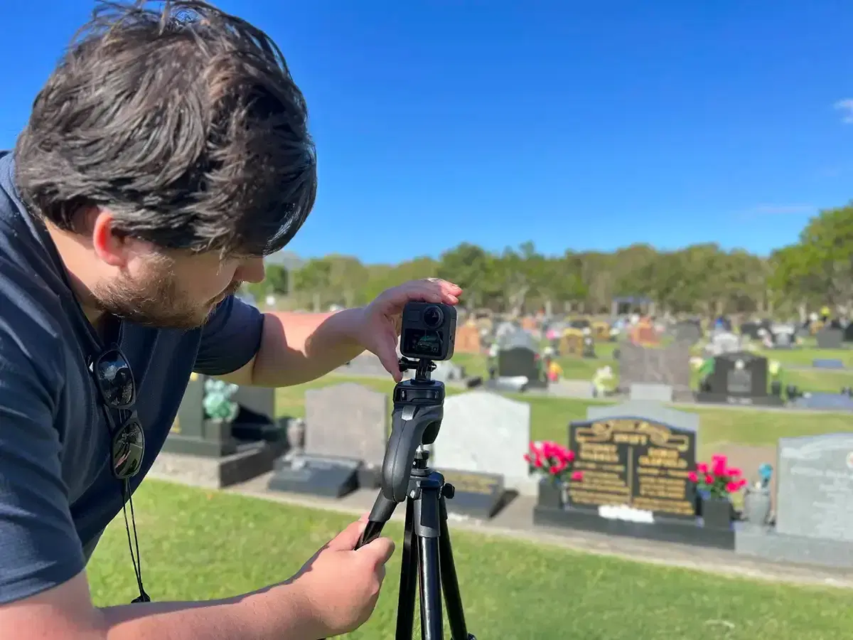
Digital mapping is only part of the solution
We also support on-site kiosks for searching, mobile apps that work offline, print-ready map files generated from the same master data, and scheduled drone audits that keep every map current. Together they make day-to-day operations smoother for staff and create a more supportive experience for families during emotionally significant visits.
Drone mapping and wayfinding in practice
Programs we have designed, delivered and supported, in detail.
Project type: Enterprise · Mapping
InvoCare Group
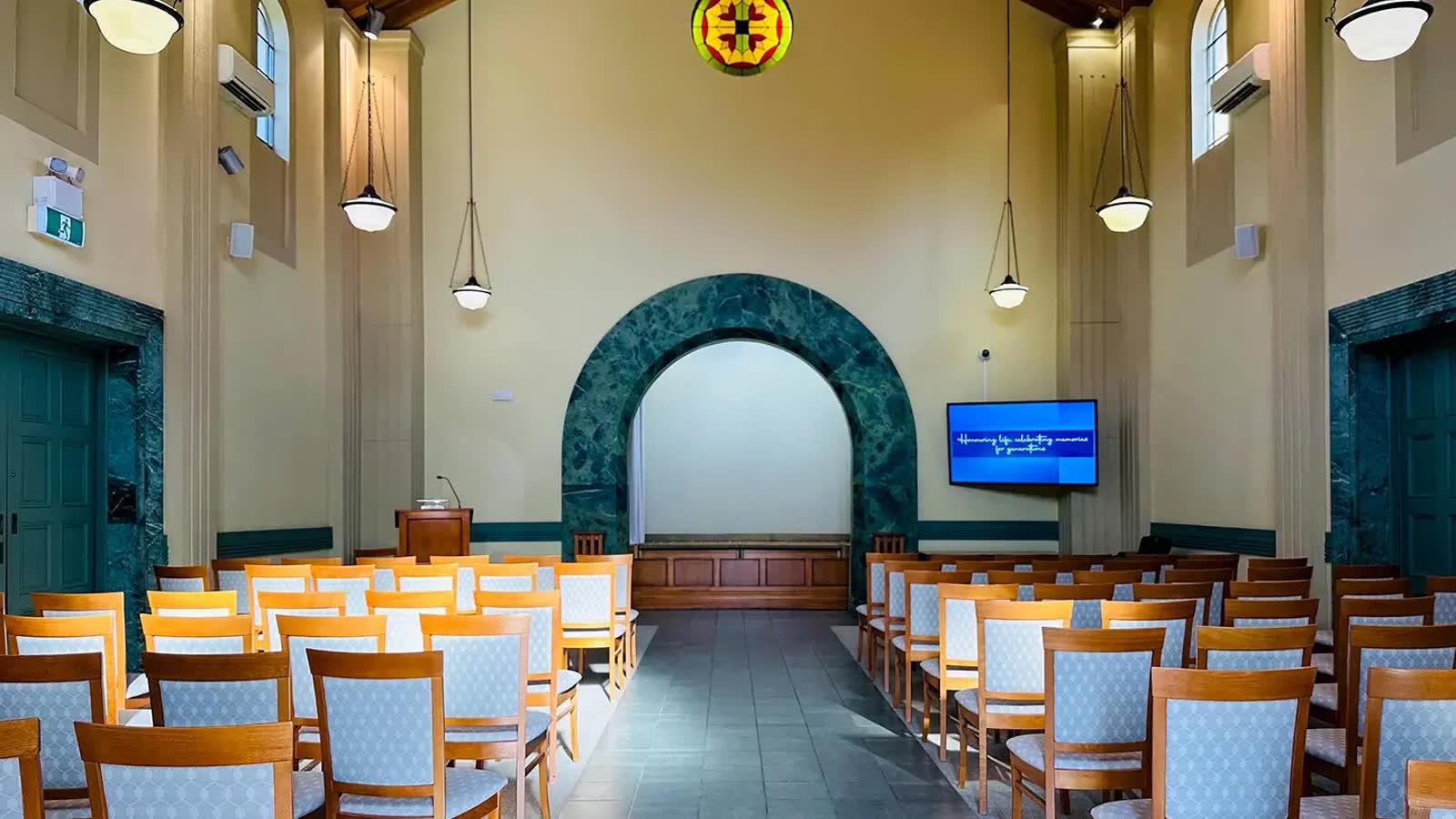
Custom memorial park maps for InvoCare in NSW and Queensland, built from drone photography, 360-degree photography and one consistent map style.
Read case study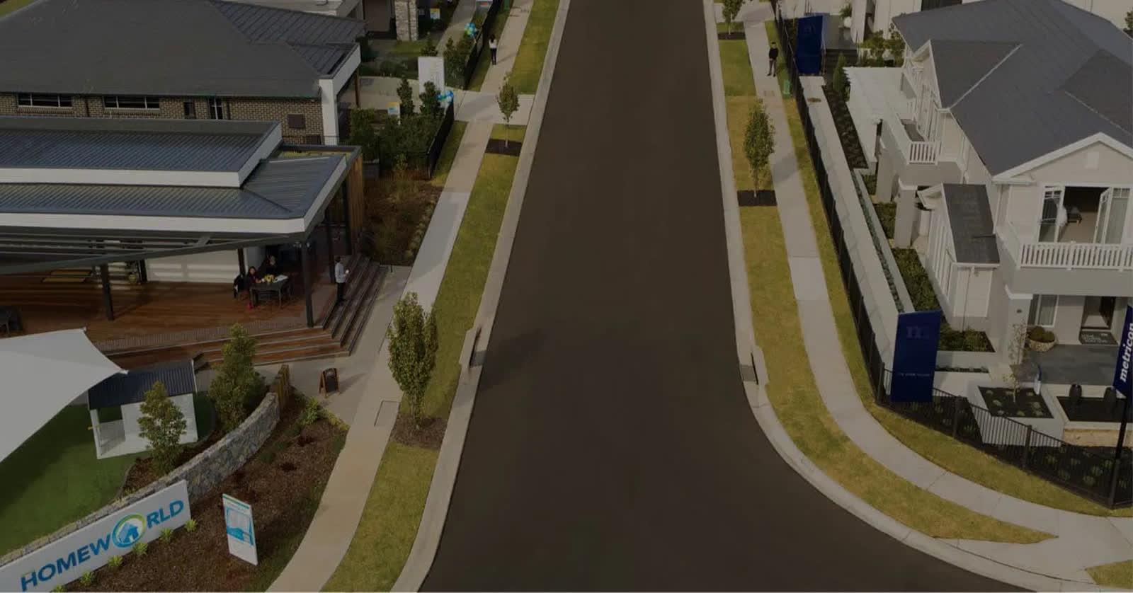
Project type: Events & venues · Mapping
HomeWorld Display Village Wayfinding
A whole new way to explore HomeWorld Marsden Park, with custom pedestrian wayfinding and high accuracy drone mapping.
Read case study
Tell us what your memorial park program needs
We’ll show you what M4 already covers, what we’d extend and what we’d craft for you. We love tech, but speak human.