

Historical Work
360° walkthroughs we delivered for property and places
This page reflects earlier programs where we combined drone views, 360° capture and stitched walkthroughs for real estate and display homes. We no longer offer virtual tours as a standalone product. Today’s capture work supports custom maps and wayfinding.
How We Captured It
Pre-programmed drones, 360° cameras and precise stitching
On these programs we pre-programmed the drone and 360° camera to suit each job, and used specialist stitching software to produce accurate, private walkthroughs. Much of the aerial work now feeds the same mapping pipelines we describe on our geospatial and drone mapping pages.
Three ways teams showed a space
Interactive 360° walkthrough
An interactive 360° walkthrough that people could explore at their own pace, on a website, in a mobile app or on an interactive touch screen.
Drone exterior and points of interest
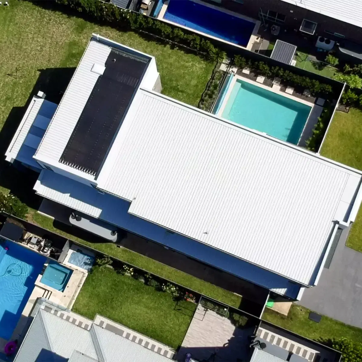
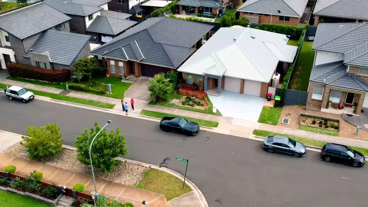
Exterior and points of interest around a property: a bird’s-eye view of outdoor vantage points, covering a far larger area than a normal photo.
Custom promotional video
Photos and video captured in different lighting, for websites, TV screens and other channels where teams wanted to showcase a property.
A drone view of a property exterior
Real Estate and Display Homes
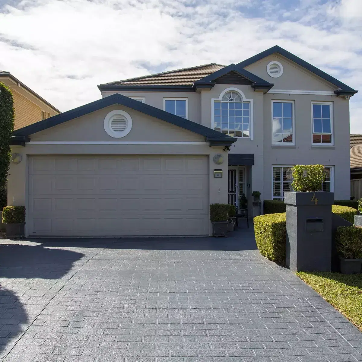
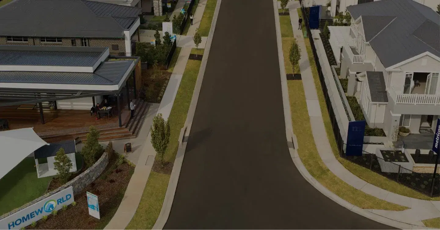
Display homes with drone views and interior 360°
Walkthroughs with points of interest for display-home and listing programs.
Real estate teams could show outdoor vantage points with latitude and longitude measurement, showing a much larger area than a normal photo can capture.
Need aerial photography for a map or venue program?
Talk to us about programmed drone flights and photogrammetry, the work we continue today for memorial parks, display villages and large outdoor sites. The results feed custom maps and wayfinding, including Mapiddiction.
Questions about mapping or immersive programs?
Send us a message and we will point you to the right team: drone capture, geospatial delivery or immersive technology.