

Mobiddiction news
From Wild About Whales to Mapiddiction: The Mobiddiction Mapping Story
Mobiddiction ·
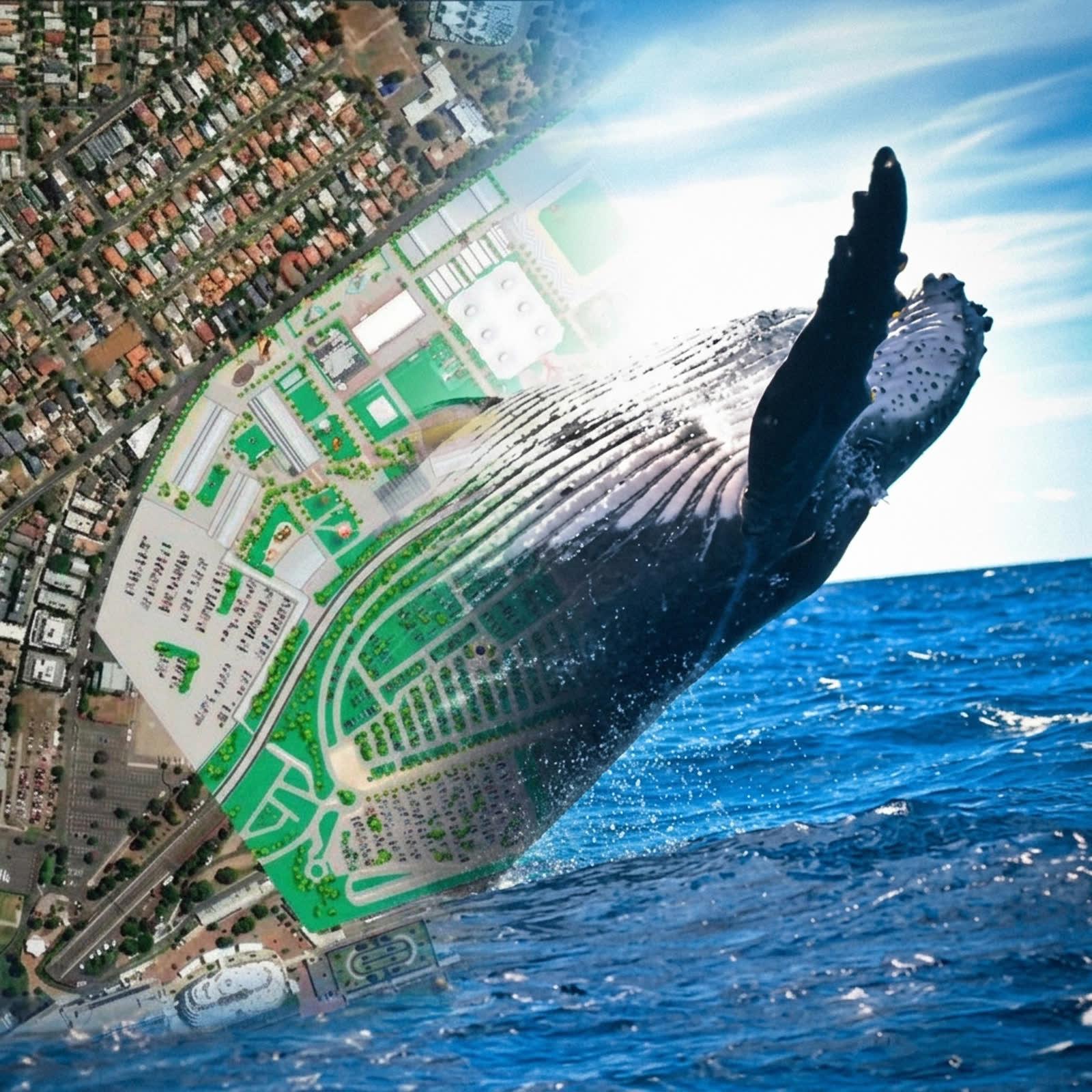
Mobiddiction’s mapping story started in 2012 with whale sightings.
Before custom venue maps, AI-powered wayfinding, major event maps and precinct navigation, our team built one of its first map-based public programs for NSW National Parks and Wildlife Service: Wild About Whales.
The idea was simple, but the platform behind it was not. Whale watchers needed a way to report sightings, view recent whale activity on a map, and plan visits around NSW coastal lookouts and national parks. NSW National Parks and Wildlife Service needed a way to collect, manage and share that information in a way that supported public engagement, tourism and conservation awareness. ORRCA’s annual Whale Census also created a structured data collection need around whale sightings and behaviours.
That project set the direction for a lot of the mapping work Mobiddiction has delivered since. A useful map is rarely just a visual layer. It is usually a platform that brings together location data, user experience, content, moderation, integrations, updates, support and trust.
The First Lesson: Maps Need Useful Data
Wild About Whales allowed users to submit whale sightings with location, time, whale species, behaviour, direction of travel and other sighting details. Those reports could then be shown back to other users on a map, helping people understand where whales had recently been seen and where they might plan a whale watching trip.
That sounds straightforward now, but in 2012 this was still early in the life of modern smartphone apps. The first iPhone had only launched a few years earlier. Mobile GPS, app-based reporting, public maps and real-time community data were still emerging as practical tools for public programs.
The original Wild About Whales app was sunset in 2020 when NPWS funding ran out, but the idea did not disappear. Mobiddiction has continued the concept through the Whale Watch app, a Mobiddiction community initiative for whale enthusiasts to report and share sightings.
The technology has changed since 2012. The lesson has not: the map is only as useful as the data, workflow and user experience behind it.
SharkSmart: Public Safety Mapping
After Wild About Whales, Mobiddiction’s mapping work expanded into public safety through SharkSmart.
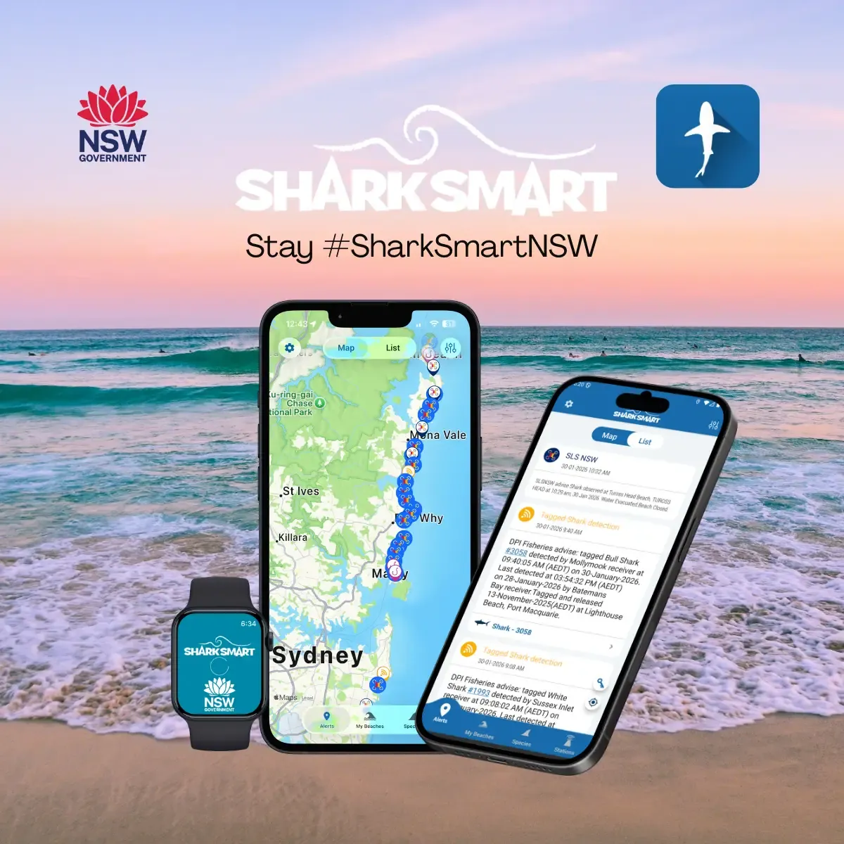
SharkSmart is a long-running NSW Government program that helps provide beach users with shark safety information, alerts and detections. The platform brings together location-based information from tagged shark listening stations, drone surveillance, SMART Drumline operations, shark netting operations, sightings, incidents and operational reporting.
This is a very different use case from whale watching, but the same pattern applies. The public map is only the visible part of the system. Behind it are data sources, alerting workflows, field tools, mobile apps, smartwatch apps, administration dashboards and APIs.
For a public safety program, the mapping platform needs to be accurate, timely and reliable. It must support the public, government teams, field operators and approved third parties who rely on location-specific information.
SharkSmart showed how location-aware platforms can support real operational programs over many years, not just one-off campaigns.
FishSmart: Rules, Boundaries And Mapbox
FishSmart added another layer to Mobiddiction’s mapping experience: location-aware rules and regulation.
For recreational fishers, the question is often not just “where am I?” It is “what rules apply here?” That means the map needs to understand boundaries, zones and location-specific regulations.
FishSmart uses Mapbox and Mapbox Studio data as the source of truth for spatial information about legislated fishing boundaries and recreational fishing rules. This kind of mapping work requires accurate spatial data, clear presentation and a user experience that helps people understand rules in context.
It is another example of maps becoming practical tools. The value is not simply drawing a boundary. The value is helping a person make the right decision based on where they are.
Sydney Royal Easter Show: Mapping A Temporary Event World
The Sydney Royal Easter Show brought a very different challenge.
The showground exists all year, but during the Easter Show it becomes a temporary event environment. Boundary fencing, entry and exit gates, attractions, food vendors, animal areas, showbags, pavilions, rides, amenities and pedestrian routes all change how people move through the site.
In normal conditions, Google Maps and Apple Maps may understand the underlying venue and surrounding roads. During the event, that information is not enough. A standard walking route might lead visitors towards a closed path, through a boundary fence, or across an area blocked by temporary infrastructure.
The Easter Show app needed a custom event map, visitor planning, wayfinding, schedules, reminders, favourites, push notifications and high-volume performance during the busiest days of the show.
This was one of the projects that reinforced a key Mobiddiction principle: major event maps need to reflect the event as it exists during the event, not just the permanent venue underneath it.
HomeWorld: Mapping Display Villages
HomeWorld introduced another kind of visitor map.
A display village is not a standard retail centre or a simple address. Visitors need to move between homes, builders, amenities and sales offices across a precinct-style environment. The map needs to support discovery and wayfinding, while also helping the operator present the village clearly to customers.
For HomeWorld, one of the key challenges was that standard public maps were out of date. Apple Maps and Google Maps satellite imagery showed the ground as it had been several years earlier, before the display homes had been built. That meant the public map data did not reflect the place visitors were actually walking through.
Mobiddiction used drone capture to collect current aerial photography, giving the team accurate ground imagery to build the maps from. This allowed the display village map to be based on the real site, not old satellite imagery.
That is a common reason organisations need custom maps. When the public map is out of date, too high-level, or missing the details that matter, a custom map can create a more accurate and useful view of the place.
NSW Survey Marks: Government Geospatial Data
NSW Survey Marks represents a more technical geospatial milestone.
Delivered for NSW Spatial Services, part of the NSW Department of Customer Service, the platform supports access to survey mark and geodetic information used by industry professionals and the public.
This type of project is different from a visitor map. It deals with authoritative spatial data, professional users, government systems and technical geospatial information that must be presented in a usable way.
For Mobiddiction, NSW Survey Marks is an important example of work with government spatial data at a professional and public access level. It shows experience not only in consumer-facing maps, but in geospatial platforms where accuracy, data structure and trust matter.
Mapiddiction: A Product Built From Real Mapping Work
Mapiddiction grew out of this long history of mapping projects.
After working across whale sightings, shark safety, fishing rules, major events, display villages and government geospatial systems, Mobiddiction had seen the same problem appear again and again: organisations needed custom maps, but the available tools were often too generic, too technical, too expensive, or too limited for real venue and event use.
Mapiddiction was created to make custom maps and wayfinding more accessible.
It allows venues, events and precincts to create custom maps, add points of interest, publish maps online, use QR codes, embed maps on websites and support AI-powered wayfinding where needed. It brings together lessons from many years of practical delivery: the map has to be easy for visitors, manageable for the venue team, and flexible enough to reflect the real place.
Royal Melbourne Show: Dynamic Event Wayfinding
The Royal Melbourne Show is one of the clearest examples of Mapiddiction’s event mapping capability.
For the show, Mobiddiction delivered a dynamic custom web map optimised for mobile browsers, including blue dot navigation and wayfinding. The map needed to work for visitors during the live event, with event-specific gates, routes, attractions, amenities, rides, food vendors and points of interest.
It also needed to fit the Melbourne Royal Show brand and work with existing event data sources.
This kind of project is exactly why Mapiddiction exists. It gives event teams a way to publish a digital map that reflects the real event layout, while giving visitors a familiar mobile map experience with search, points of interest, routes and current-location awareness.
InvoCare: Memorial Parks And Spatial Data
InvoCare added another dimension to Mobiddiction’s mapping story: memorial parks and cemeteries.
Following the acquisition of more than a dozen independent operators, InvoCare needed a way to consolidate fragmented spatial data, site records and mapping systems across memorial parks in NSW and South East Queensland.
Mobiddiction delivered a spatial and map management platform to support accurate, governed site data, drone-derived mapping, publishing across multiple channels, and a single source of truth for ongoing updates.
This is mapping as operational infrastructure. The public-facing map matters, but so does the data model, governance, accuracy, update process and long-term support behind it.
District Docklands: The Latest Precinct Mapping Example
District Docklands is one of the latest examples of Mobiddiction’s custom mapping and wayfinding work.
It is a retail and entertainment precinct, not simply a shopping centre. Visitors may be looking for shops, dining, entertainment, parking, transport connections, amenities, accessible routes or event spaces across a destination with multiple areas and significant outdoor space.
For a place like District Docklands, a standard map can help people get to the precinct, but it does not fully explain how to move through it.
Mapiddiction helps represent the precinct as visitors experience it, with custom map data, points of interest, AI-powered wayfinding and accessible routing. It is the current end of a long mapping story that started with community sightings and public maps, then expanded into public safety, government geospatial platforms, major events, memorial parks and visitor destinations.
A Mapping Story Built Across Real Projects
Mobiddiction’s mapping story connects public safety, events, precincts, memorial parks and government geospatial platforms.
The common thread is not a single map type or a single industry. It is the need to turn location data into something useful for people: visitors, field staff, government teams, event organisers, venue managers, families, communities and the public.
From Wild About Whales in 2012 through to Mapiddiction today, the work has been shaped by real places and real operational needs.
That is why Mobiddiction builds mapping platforms rather than one-off map screens. The map is important, but the platform behind it is what keeps the information accurate, usable and ready to grow.
Talk to Mobiddiction about mapping and geospatial platforms.
More reading
Mobiddiction news · Mapping
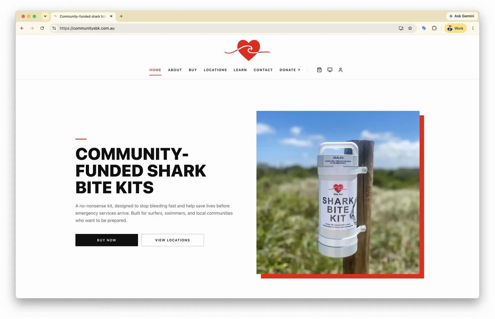
Community Shark Bite Kits Powered by Mobiddiction M4
The new Community Shark Bite Kits website, built on Mobiddiction M4, helps coastal communities find a kit, report an issue and prepare for emergencies.
Read article
Mobiddiction news · VR
Yash’s Digital Innovation Internship at Mobiddiction
Yash’s digital innovation internship at Mobiddiction: client workshops, SharkSmart and PatientVR, and seeing how a program moves from strategy to delivery.
Read article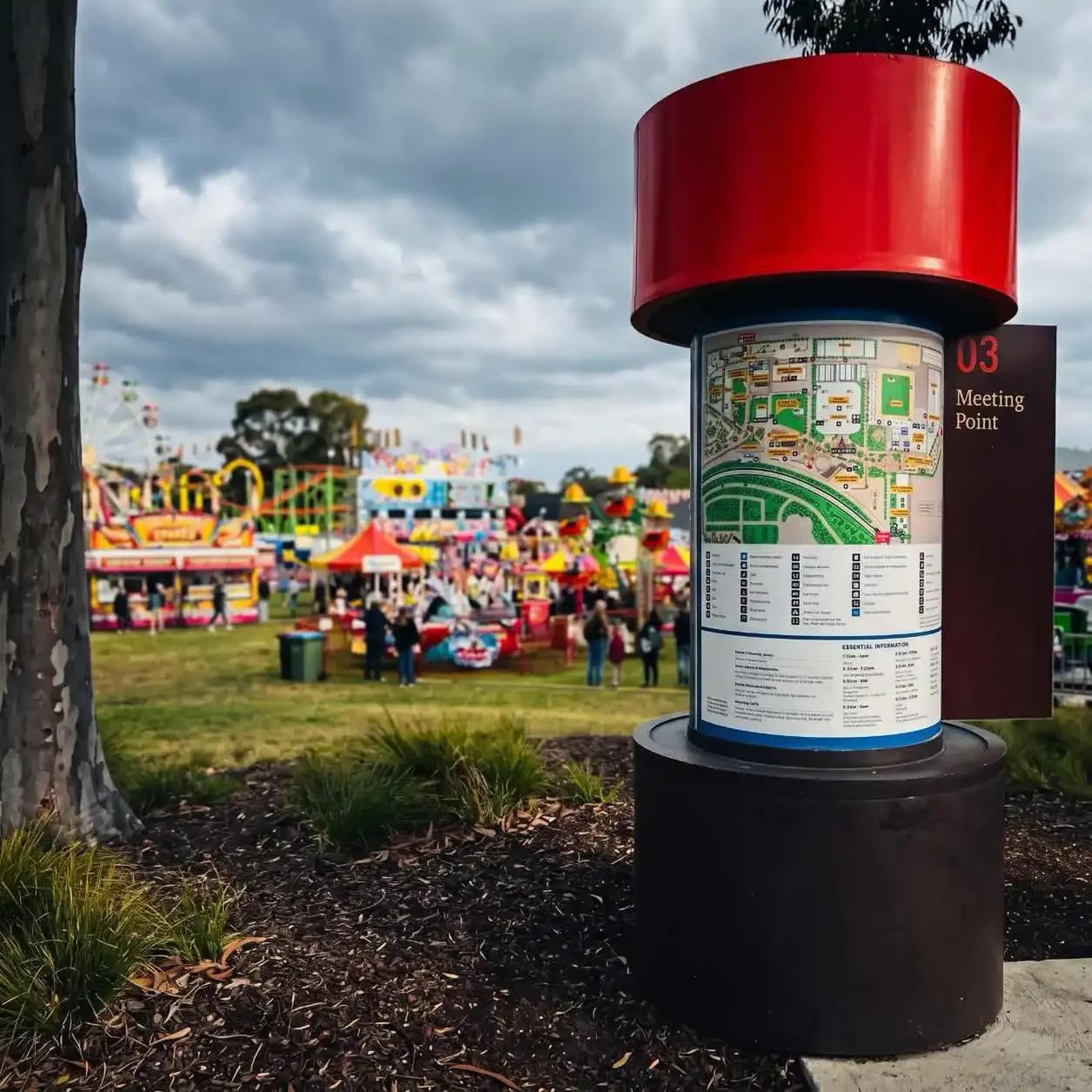
Mapping
Why Mobiddiction Builds Mapping Platforms: Since 2012
Since 2012 we have built mapping and geospatial programs for government, events, public safety and field teams. Why the platform behind the map matters.
Read article
Turn the ideas in this article into a working program
We assemble and run Government and Enterprise programs on M4, our multi-tenant platform. Tell us what you are working on.